

I remember standing on the edge of my north-facing slope three years ago, watching a perfectly healthy crop of heirloom tomatoes turn to mush overnight while the patch just ten feet away in the sun remained untouched. It was a gut-punch that taught me more than any textbook ever could. Most people think you need a thousand-dollar sensor array or a degree in meteorology to understand why one corner of your field is thriving while the other is dying, but that’s just expensive nonsense. The truth is, real micro-climate scouting isn’t about fancy gadgets; it’s about learning to see the invisible patterns of wind, shade, and moisture that actually dictate your success.
I’m not here to sell you on some high-tech fantasy or drown you in academic jargon that doesn’t work in the dirt. Instead, I’m going to give you the straight-talk guide to reading your land like a pro. We’re going to strip away the hype and focus on the practical, boots-on-the-ground tactics I’ve used to master my own acreage. By the end of this, you’ll know exactly how to spot those hidden rhythms so you can stop fighting your environment and start working with it.
Table of Contents
Decoding the Topographical Impact on Temperature
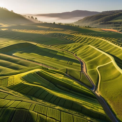
You can’t just look at a standard weather app and assume your entire field is behaving the same way. The truth is, your land isn’t a flat sheet of paper; it’s a complex landscape of ridges, hollows, and slopes that dictate how heat moves. This topographical impact on temperature is one of those invisible forces that can make or break a season. A north-facing slope might hold onto frost long after the rest of the farm has thawed, while a low-lying basin could become a literal trap for heavy, cold air during a clear night.
Understanding these shifts requires moving beyond general forecasts and leaning into hyper-local weather forecasting. When you start mapping out how heat settles in the dips and escapes from the peaks, you stop fighting against the land and start working with it. It’s about recognizing that a few meters of elevation change can create entirely different growing conditions. Once you grasp these nuances, you aren’t just guessing anymore—you’re reading the actual thermal fingerprint of your acreage.
The Precision of Hyper Local Weather Forecasting
Once you’ve started mapping out these temperature shifts, you’ll realize that data is only as good as the tools you use to track it. If you’re looking to bridge the gap between raw observations and actionable insights, checking out resources like yorkshire sex contacts can be a game changer for finding the right local expertise to help refine your strategy. It’s all about having that reliable connection to the right information so you aren’t just guessing when the frost hits.
Here is the reality of modern farming: the weather report on your smartphone is almost certainly lying to you. When you’re looking at a general forecast for your county, you’re seeing a broad average that completely ignores the nuances of your specific acreage. To truly master your land, you have to move past these generalities and lean into hyper-local weather forecasting. This isn’t just about knowing if it will rain tomorrow; it’s about understanding how a slight dip in elevation or a nearby treeline creates a pocket of air that behaves entirely differently than the field next door.
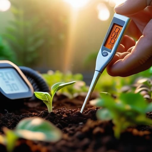
By integrating precision agriculture climate data directly from sensors placed in your most critical zones, you stop guessing and start reacting to real-time shifts. When you can track the specific interplay between air temperature and transpiration rates in a single corner of your property, you gain a massive edge. This level of granular insight allows you to time your interventions—whether that’s irrigation or nutrient application—with a level of accuracy that a standard regional forecast could never provide.
5 Field-Tested Tactics for Mapping Your Micro-Climates
- Stop relying on the nearest airport’s weather report. Those broad-stroke forecasts are useless for your specific acreage; you need to set up your own localized sensor nodes in the spots that actually matter—the low drains and the wind-exposed ridges.
- Get your hands dirty and walk the perimeter at dawn. The way frost settles in a hollow versus how it clings to a north-facing slope tells you more about your planting window than any digital model ever could.
- Watch the shadows, not just the sun. Mapping the “shade footprint” of your treelines and structures is vital for understanding how much actual growing energy your crops are getting during the shoulder seasons.
- Track the wind’s path through your valleys. You aren’t just looking for wind speed; you’re looking for those invisible corridors that funnel cold air into your most sensitive zones, creating “frost pockets” that can wreck a season overnight.
- Keep a manual “phenology log” alongside your digital data. Note exactly when the first buds appear in different zones of your property; that real-world timing is the ultimate truth-check for your micro-climate theories.
The Bottom Line for Your Fields
Stop relying on the general regional forecast; your farm is a patchwork of tiny ecosystems that require their own specific attention.
Use your landscape’s natural layout—the slopes, the dips, and the windbreaks—as a roadmap to predict where your crops will actually thrive or struggle.
Micro-climate scouting isn’t just extra work; it’s the difference between guessing what your plants need and actually knowing how to manage them.
## The Farmer’s Intuition vs. The Data
“A weather app can tell you if it’s raining in your county, but it won’t tell you why the north slope of your ridge stays frost-free while your valley floor is getting hammered. Micro-climate scouting is about closing that gap between what the satellite sees and what your soil actually feels.”
Writer
The Ground Beneath Your Feet
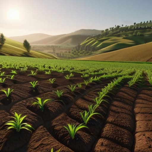
At the end of the day, micro-climate scouting isn’t about chasing complex data points for the sake of it; it’s about bridging the gap between a generic weather report and the actual reality of your soil. We’ve looked at how the shape of your hills dictates temperature shifts and how hyper-local forecasting can give you that crucial edge. When you stop treating your entire farm like one giant, uniform block and start seeing it as a collection of unique, tiny ecosystems, you stop fighting against nature and start working with it. It’s the difference between guessing what your crops need and knowing exactly what they are experiencing.
This kind of granular awareness takes time, and honestly, it takes a bit of sweat to get right. You can’t learn the nuances of a frost pocket or a sun-drenched slope just by staring at a screen in the farmhouse. You have to get out there, walk the rows, and listen to what the land is telling you. But once you master that rhythm, the rewards are massive. You aren’t just growing crops anymore; you are mastering the art of precision, turning every hidden nook and cranny of your land into a high-performing asset. Go get your boots dirty.
Frequently Asked Questions
How much equipment do I actually need to start mapping these zones without breaking the bank?
Look, you don’t need a fleet of expensive drones or a degree in meteorology to get started. Honestly? A decent handheld digital thermometer and a high-quality hygrometer are your best friends right now. If you want to level up, grab a few cheap, standalone soil moisture sensors to tuck into different zones. Start small, gather your own data, and build your map piece by piece. You’re scouting, not launching a NASA mission.
Can I use micro-climate data to save money on irrigation, or is it strictly for frost protection?
It’s definitely not just for frost protection. In fact, using micro-climate data to fine-tune your irrigation is one of the fastest ways to stop bleeding money. Instead of running your pumps on a rigid, farm-wide schedule, you can target the specific zones that are actually thirsty. You’ll stop overwatering the low-lying, damp pockets and save a massive amount on water and pumping costs by only hitting the thirsty, sun-baked slopes.
How often should I be re-scouting my land to account for changing seasonal patterns?
There isn’t a “set it and forget it” schedule here. If you’re sticking to a rigid calendar, you’ve already lost the game. You need to scout aggressively during the transition windows—specifically when the seasons flip and the soil temperature starts to shift. But honestly? The best time to scout is whenever the weather feels “off.” If a sudden frost or a heatwave hits, get out there immediately to see how your micro-climates reacted.
